


Decisions lack field data
Most smallholders act without soil or land-risk data for their own plots.
farms
GeoPonix turns plot-level soil, terrain, and climate signals into clear field and program decisions across Nigerian agriculture.
GeoPonix turns plot-level soil, terrain, and climate signals into clear field and program decisions across Nigerian agriculture.
Most smallholders lack real farm data. Extension is stretched thin. GeoPonix closes the gap with ground truth and terrain-aware insight.
The problem
Without plot-level intelligence, farms lose yield and programs plan blind. GeoPonix builds the agro intelligence layer Nigeria has been missing.
Most smallholders act without soil or land-risk data for their own plots.
Officers face ratios far past any workable load across thousands of farms.
Satellite layers are too broad for individual plots and day-to-day decisions.
Slope and rainfall timing shape what land can hold, use, and lose.
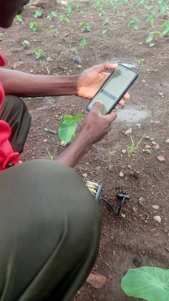
GeoPonix turns guesswork into agro intelligence with plot-level soil, slope, and rainfall data.
Extension multiplies reach. NGOs target better. Lenders underwrite with real land signals. Government gains ground-truth farm records.
From on-farm measurement to field guidance, risk flags, and institutional insight.
See it in the field
See how plot-level soil truth, terrain context, and guidance power agro intelligence.
What GeoPonix enables
Plot-level decisions, early land-risk signals, and a growing local farm-data layer for Nigeria.
Plot soil truth
Field guidance
Runoff risk flags
Multi-farm reach
AI assistance
Partner on a pilot that shows clearer field decisions and data institutions can use.
